Android App for Emergency Response and Surveillance
Current Students: Pranay Rajeev, Dexter Ballerda and Diliorah Arah
Past Students: Usha Govindaraju
Status: Current
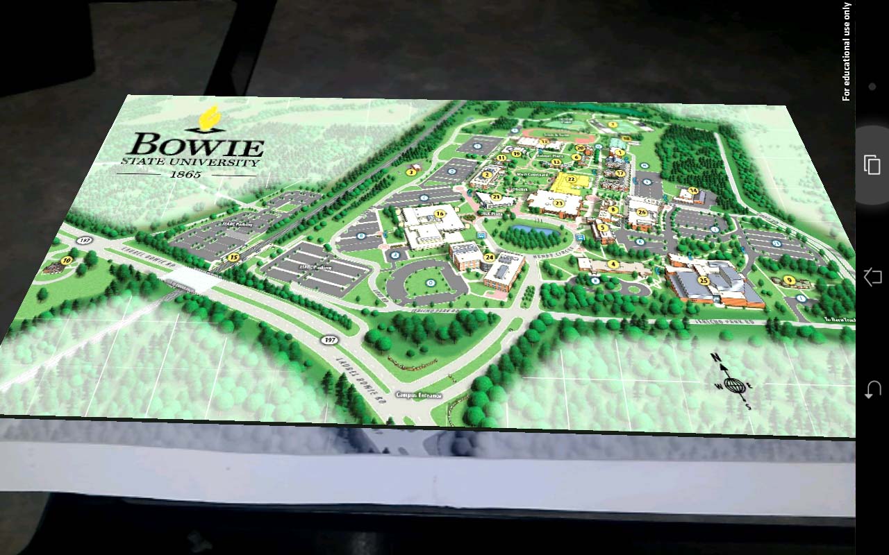
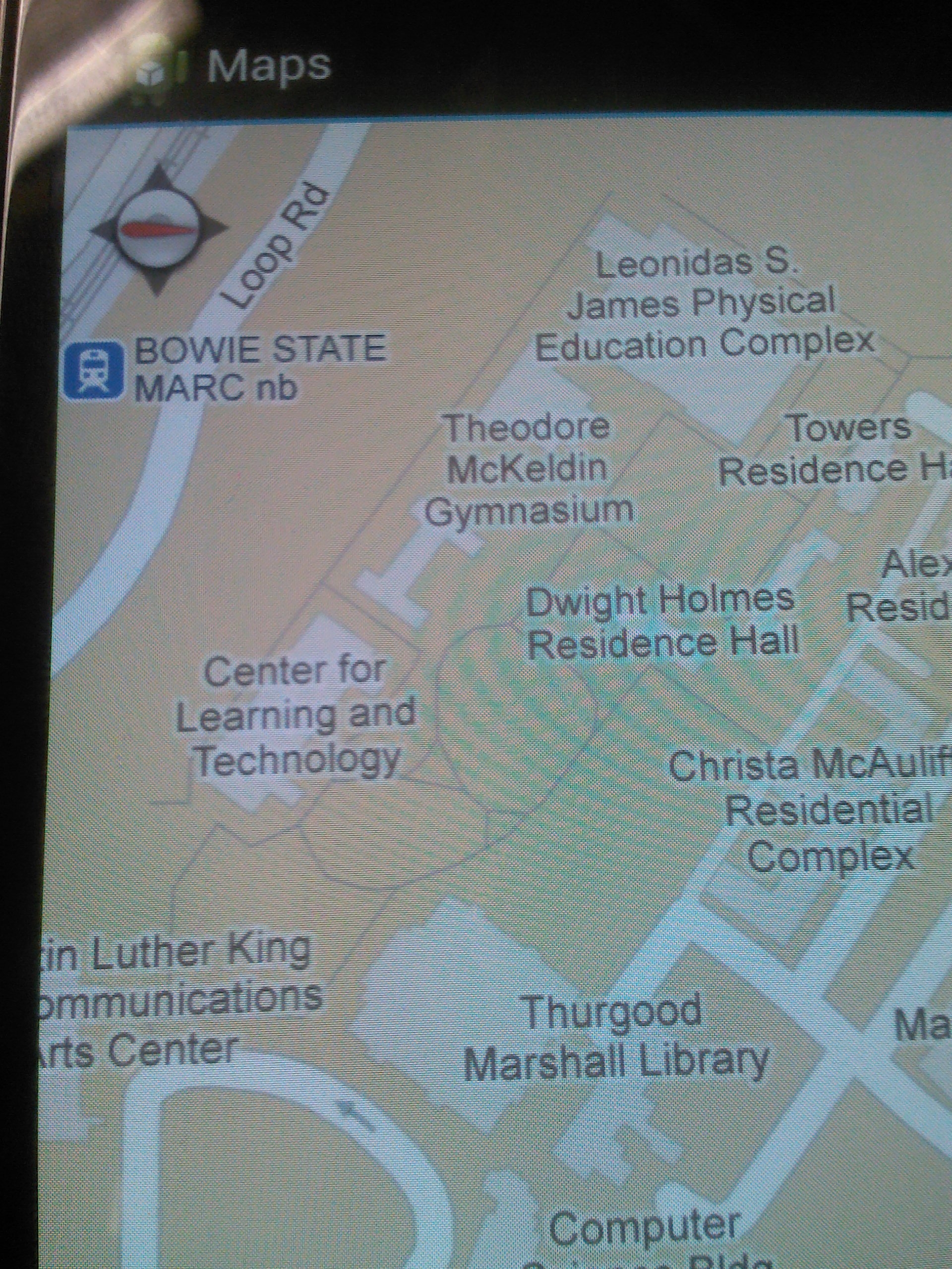
The goal of this project is to develop an android application for emergency surveillance at BSU by using google latitude and longitude to determine the location of the user. It will provide safety decision making system for a school/university. This mobile application will enale enable policymakers and first-responders to evaluate evacuation strategies and mobile device usage during evacuations. We are using
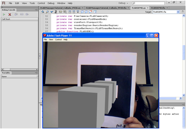
- Eclipse IDE to add the google map with normal and satellite view into the application with a valid API key
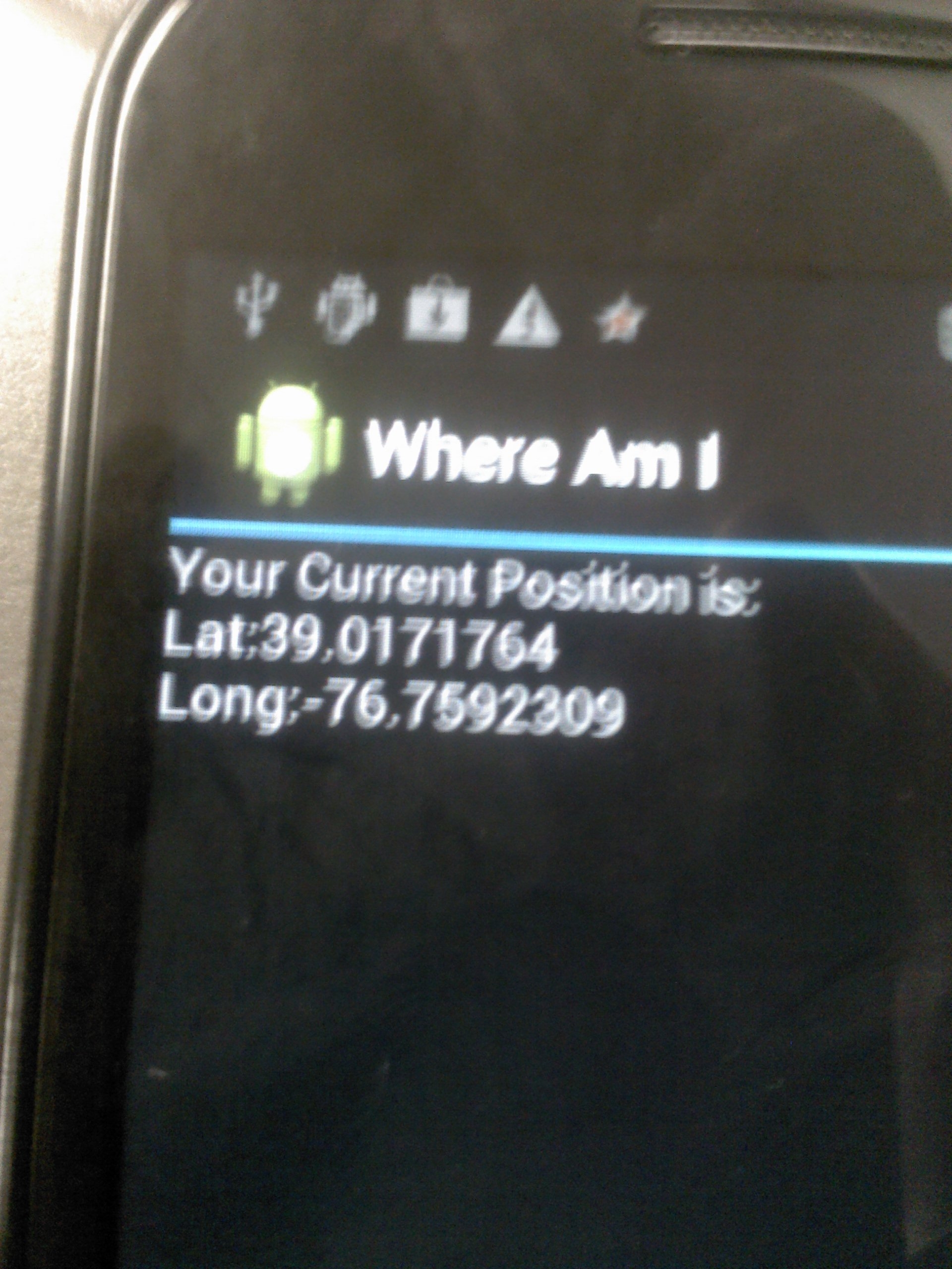
- Combine the geo-location and location manager with the map to get the current location of the user
- Add and remove the marker as the location updates
- Use Cell tower or GPS in order to get signal to the device
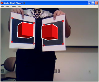
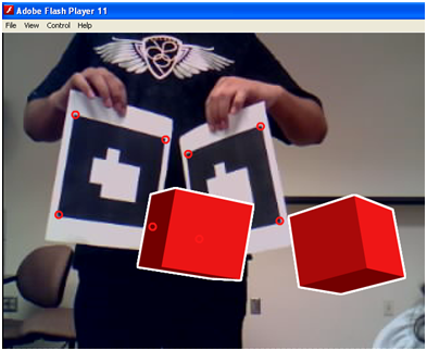
Currently we are working on tracking multiple users and integrating augemtned reality markers on the campus map.
|
